

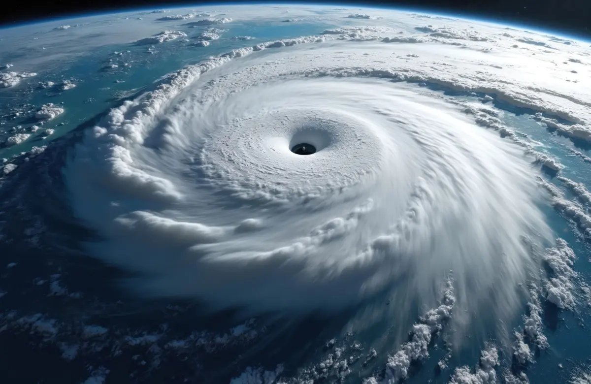
ORLANDO, Fla. — Emergency management officials along the central Gulf Coast are bracing for severe weather this weekend as Tropical Depression 9 gathers strength in the Atlantic Ocean. According to advisories issued by the National Hurricane Center (NHC), the developing system is forecast to intensify rapidly over the coming days, threatening southeastern Louisiana, the Mississippi and Alabama coastlines, and the Florida Panhandle with torrential rainfall, destructive winds, and dangerous storm surge.
The system—which is expected to assume the name Isaias—marks a meteorological anomaly. Its impending evolution into a hurricane makes it the latest date on record for the season’s first Atlantic hurricane in the modern satellite era, shattering historical timelines and posing unique logistical challenges for communities across the region. With landfall projected for Friday night, state and local governments have already swung into high gear, issuing emergency declarations and urging residents to finalize preparations.
Main Facts: The Anatomy of an Unprecedented Storm
Tropical Depression 9 is currently churning through warm Atlantic waters, providing the thermodynamic fuel necessary for rapid intensification. Forecasters at the NHC expect the system to cross the threshold into a tropical storm by Wednesday, before achieving full hurricane status by Thursday.
Upon reaching hurricane strength, the system will claim the distinction of being the first named Atlantic hurricane of the 2026 season. This sets a striking milestone: it is the latest first hurricane of the calendar year since satellite observation began in 1966. To put this into historical context, the previous record for the latest formation of the season’s inaugural hurricane was held jointly by Hurricane Humberto in 2013 and Hurricane Gustav in 2002, both of which formed on September 11.
The primary hazards associated with the system extend well beyond coastal wind damage. The NHC has warned that communities in the direct path of the storm can expect widespread rainfall accumulations of 3 to 6 inches. In areas where bands stall or repeatedly track over the same geography, localized totals could soar as high as 10 inches.
These staggering volumes introduce a severe threat of flash flooding, particularly in urban centers with compromised or overwhelmed drainage infrastructure. Furthermore, meteorologists are monitoring the potential for isolated river flooding across the Florida Panhandle, Alabama, and southern Mississippi as runoff makes its way southward toward the Gulf. Coastal residents must also prepare for rising tides, hazardous surf conditions, and potential coastal inundation as the system makes its final approach.
Chronology: Path to Landfall
Understanding the rapid timeline of Tropical Depression 9 is critical for residents and emergency planners operating under a compressed warning window. The progression of the storm follows a tightly packed trajectory over the workweek:
- Early Week (Monday–Tuesday): The precursor disturbance consolidates into Tropical Depression 9. Steering currents begin to guide the system westward toward the warm waters of the Gulf of Mexico, where environmental conditions favor organization and intensification.
- Wednesday: The NHC forecasts the depression to cross the threshold into a tropical storm, earning the name Isaias. Public awareness campaigns ramp up significantly as the cone of uncertainty narrows, pinpointing the central Gulf Coast as the primary target area.
- Thursday: Rapid strengthening continues as the system traverses the central Gulf. Forecasters expect Isaias to officially attain hurricane status, making history as the latest-forming first Atlantic hurricane of the satellite era. Coastal evacuations, if deemed necessary by local officials, are initiated.
- Friday: Outer rainbands begin lashing the coast by Friday morning, bringing gale-force winds and squalls ashore. Conditions deteriorate rapidly throughout the day, culminating in a projected landfall along the coast spanning from southeastern Louisiana to the Florida Panhandle by Friday night.
- Weekend (Saturday–Sunday): The remnants of the storm push inland, bringing heavy, soaking rains northward into the Deep South. While winds will steadily diminish as the system interacts with land, the flood threat persists across Georgia, Alabama, and the Florida interior well into the weekend.
Supporting Data: Meteorological Context and Historical Anomalies
The delayed arrival of the 2026 Atlantic hurricane season’s first hurricane has captured the intense scrutiny of climatologists and meteorologists worldwide. While the broader Atlantic basin can experience erratic periods of activity, a quiet stretch extending through the entire summer and deep into September is exceedingly rare.
To understand the magnitude of this year’s anomaly, one must examine the baseline data of tropical meteorology:
- The Satellite Era Baseline: Since 1966, continuous satellite surveillance has provided comprehensive tracking of every tropical system in the Atlantic basin.
- Previous Records: Prior to 2026, the late-blooming seasons of 2002 (Gustav) and 2013 (Humberto) held the record for the latest first hurricane on September 11. The arrival of Isaias well past this date pushes the climatological envelope into uncharted territory for modern records.
- Rainfall Projections: Widespread totals of 3 to 6 inches are anticipated across a broad swath of the Gulf Coast, with localized maximums reaching up to 10 inches. This volume of water represents a month’s worth of rain in a matter of 36 to 48 hours for many affected locales.
- Preparatory Reach: State-level emergency declarations currently encompass 25 distinct counties in Florida alone, demonstrating the expansive geographical footprint of the anticipated weather impacts.
Despite the late start to hurricane activity, experts caution the public against complacency. Historical data demonstrates that late-season storms can be exceptionally volatile, fueled by residual oceanic heat content and atmospheric dynamics that can trigger sudden intensification events just hours before landfall.
Official Responses: Mobilization and State of Emergency
Governors, local mayors, and emergency management directors across the Gulf Coast have mobilized rapidly in response to the incoming threat.
In Tallahassee, Florida Governor Ron DeSantis took swift executive action, signing a formal state of emergency covering 25 counties. The declaration spans the entirety of the Florida Panhandle and the Big Bend region—areas notoriously vulnerable to storm surge and wind-driven tree damage.
"This order ensures communities have the time and resources necessary to prepare for potential severe weather impacts to the Panhandle and Big Bend region of Florida," Governor DeSantis wrote in a statement published on social media.
The executive order cuts through bureaucratic red tape, allowing local municipalities to pre-position swift-water rescue teams, emergency generators, high-water vehicles, and utility repair crews. It also activates the Florida National Guard for potential deployment and authorizes the suspension of certain regulatory statutes to facilitate the smooth flow of emergency supplies, fuel, and evacuation traffic.
Neighboring states, including Alabama and Mississippi, are closely monitoring the storm’s track. Emergency Operations Centers (EOCs) in those states have elevated their monitoring status, coordinating with county officials to ensure shelters are inspected and supply chains remain robust. Citizens residing in low-lying areas, mobile homes, and designated evacuation zones are being urged to review their personal emergency plans, check disaster supply kits, and heed local evacuation advisories as they are issued.
Implications: Economic and Cultural Disruptions Across the Region
Beyond the immediate physical dangers posed by wind and water, the timing of Tropical Depression 9 threatens to severely disrupt a slate of massive cultural, economic, and sporting events scheduled along the Gulf Coast this weekend. The convergence of a major tropical threat with high-profile regional gatherings has created a logistical nightmare for event organizers, local businesses, and tens of thousands of travelers.
The National Shrimp Festival in Gulf Shores
On the sandy shores of Gulf Shores, Alabama, organizers are sweating over the forecast. The city plays host to the annual National Shrimp Festival, a sprawling celebration of food, art, and music that regularly draws over 300,000 visitors to the beachfront.
Scheduled to run from Thursday through Sunday, the festival serves as a critical economic engine for local hotels, restaurants, and retail shops, marking the peak of the shoulder tourism season. With landfall projected for Friday night—and tropical-storm-force winds potentially arriving even earlier—festival coordinators are locked in emergency consultations with city officials and meteorologists to determine whether events must be canceled, postponed, or significantly scaled back. A direct hit could result in millions of dollars in lost revenue for the coastal hospitality sector.
A High-Stakes SEC Showdown
A couple of hundred miles inland, the meteorological disruptions reach into the realm of collegiate sports. The University of Alabama in Tuscaloosa is slated to host the University of Georgia in a colossal, high-stakes college football game that has captured the attention of the entire nation.
The marquee Southeastern Conference (SEC) matchup was already generating unprecedented hype, penciled in to feature ESPN’s flagship pre-game show, College GameDay, broadcasting live from the campus. Adding to the gravity of the event, high-profile security preparations were underway for a planned visit by President Donald Trump.
While Tuscaloosa sits safely north of the immediate coastal impact zone, the outer rainbands and heavy moisture associated with the remnants of the storm are projected to track northward into Alabama by late Friday and Saturday. This introduces the distinct possibility of heavy downpours, lightning delays, and slick playing conditions during the game itself. Furthermore, travel logistics for hundreds of thousands of fans flying and driving into the region from across the country could experience severe delays as major airline hubs and regional highways grapple with storm-related flight cancellations and localized road flooding.
Summary of Ongoing Vigilance
As the clock ticks toward Friday night’s projected landfall, the residents of the central Gulf Coast find themselves at the intersection of meteorological history and acute vulnerability. Whether facing the fury of storm-battered beaches, the rising waters of swollen rivers, or the rescheduling of cherished community traditions, the region is bracing for an intense and consequential weekend. Authorities reiterate that safety remains the paramount priority, advising all individuals within the storm’s projected path to monitor official broadcasts, respect local warnings, and complete safety preparations without delay.
