

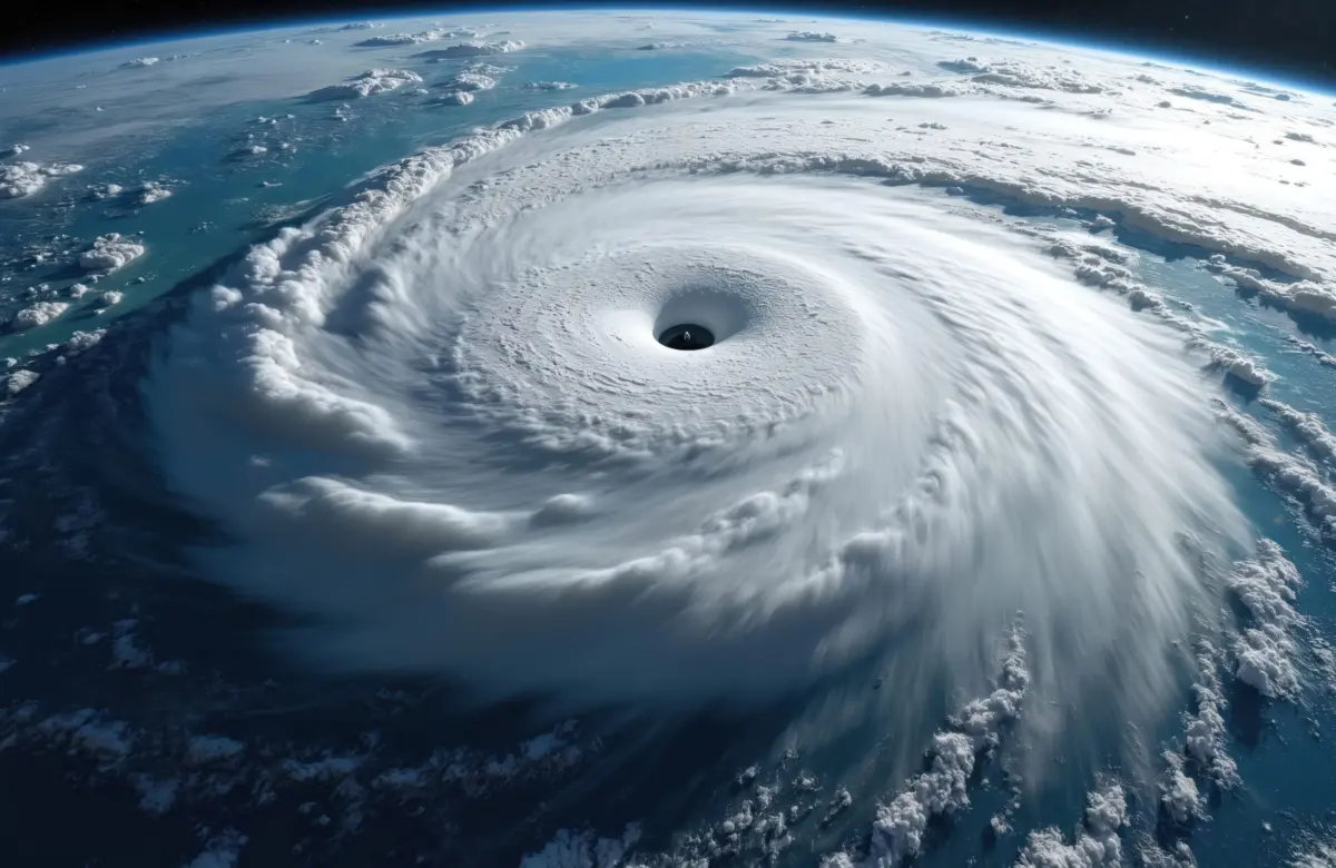
HONOLULU — The Hawaiian archipelago is once again in the crosshairs of severe tropical weather. Barely weeks after enduring a relentless summer of near-misses and direct threats, residents across the islands are preparing for yet another powerful storm system. A newly reformed tropical depression, churning waters south of the island chain, is forecast to rapidly intensify into a formidable Category 2 hurricane just as it approaches the Big Island over the weekend.
Emergency management officials, meteorologists, and local communities are on high alert, bracing for a cascade of hazards that include torrential downpours, life-threatening flash floods, destructive mudslides, and high surf. The looming tempest underscores an exceptionally volatile and dangerous tropical storm season driven by broader oceanic and atmospheric anomalies.
Main Facts
The core of the unfolding weather event centers on a tropical depression that re-formed in the central Pacific south of Hawaii. According to the United States National Hurricane Center (NHC), the system currently packs maximum sustained winds of 35 miles per hour (56 kilometers per hour). However, favorable environmental conditions—most notably abnormally warm sea surface temperatures—are expected to fuel rapid strengthening over the coming days.
Forecasters project that the system will evolve into a powerful Category 2 hurricane, boasting maximum sustained winds reaching up to 110 miles per hour (177 kilometers per hour) by the time it tracks near or over the Big Island of Hawaii on Saturday.
The immediate threat is not limited to wind damage. Forecasters have highlighted extreme rainfall as the most significant and lethal hazard associated with the storm. Precipitation is expected to begin drenching the eastern portions of the Big Island as early as Wednesday, escalating steadily throughout the week.
"Life-threatening, catastrophic flooding and mudslides are possible from rainfall totals in excess of a foot," wrote NHC forecasters Larry Kelly and John Cangialosi in an official meteorological analysis.
The convergence of steep volcanic terrain, saturated soils, and immense volumes of tropical moisture creates a high-risk environment for flash flooding and catastrophic slope failures across vulnerable valleys and coastal communities.
Chronology of the Threat
The pathway toward this weekend’s impending crisis has been marked by a swift meteorological evolution and a historically busy tropical season in the Pacific basin.
- Late Summer: Hawaii’s vulnerability to tropical systems was firmly established earlier in the season. In August, Hurricane Lala tracked dangerously close, coming within mere miles of making landfall on the Big Island and forcing emergency personnel to activate storm protocols.
- Earlier This Month: Hurricane Lowell swept through the region, triggering severe weather warnings and high-surf advisories across the islands of Oahu and Kauai, reminding residents of the persistent atmospheric instability surrounding the state.
- Tuesday: The meteorological landscape shifted again as a weak disturbance south of the islands organized into a tropical depression. Recognizing the rapid intensification potential, the U.S. National Hurricane Center began issuing dedicated advisories. Late Tuesday evening, Hawaii’s Emergency Management Agency (HI-EMA) issued urgent warnings via social media, alerting residents to prepare immediately for imminent flooding.
- Wednesday: Heavy rains are forecast to make their initial landfall along the windward and eastern slopes of the Big Island. As atmospheric moisture pools around the center of circulation, cloud cover will thicken, and coastal conditions will begin to deteriorate.
- Thursday and Friday: The tropical depression is expected to undergo steady intensification, graduating to tropical storm status and eventually approaching hurricane strength. Outer rainbands will likely expand, bringing squalls, gusty winds, and localized flooding to Maui County and potentially extending northward toward Oahu.
- Saturday: The system is projected to reach its peak intensity near a Category 2 storm, bringing its core hazards directly to the Big Island. Life-threatening storm surges, destructive winds, and torrential rainfall exceeding 12 inches in localized areas are anticipated during this window.
Supporting Data and Meteorological Context
To understand the severity of the current threat, experts point to a larger web of oceanic and climatic forces driving extreme weather across the Pacific Ocean basin this year.
At the heart of the anomaly is El Niño. The recurring climate pattern has generated abnormally warm ocean waters spanning the vast corridor between Mexico and Hawaii. This expansive pool of heated water acts as an energetic engine, fueling an unprecedented string of powerful hurricanes and typhoons across the Pacific throughout 2026.
Just off the coast of Mexico, storms like Hurricane Polo have developed into some of the strongest systems of the year, echoing the intense thermal energy present throughout the broader maritime region.
For Hawaii specifically, the statistics for the current season are staggering. The state has been directly menaced or impacted by at least five distinct tropical systems since the season began. This frequent barrage follows an already brutal winter marked by severe tropical storms, hurricanes, and persistent Kona Lows—cold-core low-pressure systems that bring torrential rains, high winds, and severe thunderstorms to the islands.
The geography of the Hawaiian Islands further magnifies the impact of these weather systems. The dramatic topography, characterized by towering volcanic peaks and steep-walled valleys, forces moisture-laden air rapidly upward. This process, known as orographic lift, squeezes massive amounts of precipitation out of passing storm clouds. When combined with rainfall totals exceeding 12 inches, this dynamic turns small streams into raging torrents and triggers sudden, violent mudslides capable of sweeping away infrastructure.
Official Responses and Preparedness
In light of the catastrophic forecasts, government agencies, emergency services, and community organizations have mobilized across the islands.
Hawaii’s Emergency Management Agency took to digital platforms late Tuesday to urge residents not to underestimate the developing storm. Officials stressed that complacency is the greatest danger during recurrent disaster seasons, noting that communities already fatigued by a year of continuous severe weather must remain vigilant.
"Residents should take immediate steps to secure property, clear drainage paths, and prepare emergency kits containing food, water, and essential medications for at least several days," HI-EMA officials stated in their advisories.
Local county governments on the Big Island, Maui, and Oahu have begun reviewing evacuation plans, inspecting flood-control infrastructure, and staging rescue equipment in high-risk zones. Public safety announcements are broadcasting evacuation routes, flood safety guidelines, and shelter locations.
Utility companies are placing repair crews and technical personnel on standby, anticipating widespread power outages caused by falling trees, wind-blown debris, and saturated root systems. Shelters are being prepared to receive vulnerable populations, particularly those residing in low-lying coastal areas or flood-prone river valleys.
Broader Implications
The persistent threat of high-intensity hurricanes in Hawaii carries profound implications for the state’s economy, infrastructure, and long-term climate resilience.
Economic and Agricultural Pressures
Hawaii’s economy relies heavily on tourism, agriculture, and complex supply chains that are highly sensitive to natural disasters. Repeated storm threats disrupt commercial air travel, strand visitors, and temporarily halt tourism-dependent businesses. Furthermore, torrential rains and flooding pose severe risks to local agriculture, threatening crops, livestock, and soil stability across the islands’ farming regions.
Infrastructure Vulnerability
The relentless succession of storms—ranging from winter Kona Lows to late-summer hurricanes—places immense strain on public infrastructure. Roads, bridges, drainage systems, and coastal seawalls face cumulative wear and tear. Repairing and fortifying these assets against increasingly frequent extreme weather events demands significant financial investment from both state and federal treasuries.
Climate Change and the "New Normal"
Scientists and policy experts view the 2026 Pacific storm season not as an isolated anomaly, but as part of a troubling long-term trend. As global ocean temperatures continue to rise due to anthropogenic climate change, the geographical boundaries defining where hurricanes can form and strengthen are expanding. For Hawaii, an island chain historically spared from the most violent impacts of major hurricanes due to cooler surrounding waters, the warming Pacific represents a shifting paradigm.
As the current Category 2 threat bears down on the Big Island, it serves as a stark reminder of the mounting challenges facing isolated island communities in an era of intensifying global weather extremes. For now, residents across the Hawaiian chain are hunkering down, watching the radar, and hoping for the best while preparing for the worst.
