

By ArchDaily Staff / Feature Analysis
Published: September 15, 2026
Main Facts
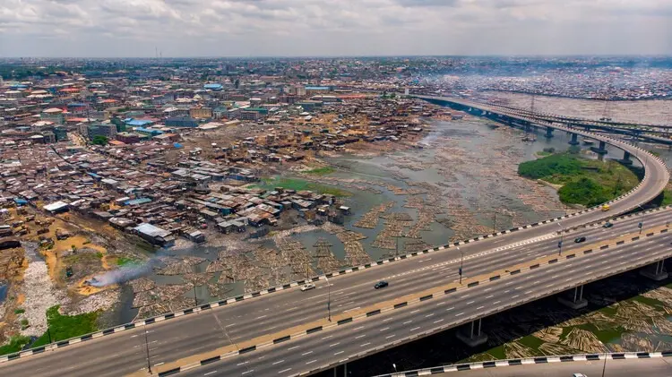
Lagos, Nigeria—often referred to locally as Eko—stands as a sprawling, hyper-dense coastal megacity built upon a vast, dynamic floodplain. Characterized by a complex network of lagoons, creeks, and Atlantic tidal influences, the city’s geography has dictated its existence long before the first paved roads were laid or municipal boundaries were drawn.
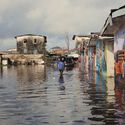
Today, as seasonal downpours strike, the city’s architectural and infrastructural vulnerabilities are laid bare. Urban development, ranging from informal settlements to heavily privatized luxury waterfront real estate, occupies land that is fundamentally intertwined with water. Rather than viewing recurring floods as isolated anomalies or simple engineering failures, environmental planners and urban theorists increasingly characterize them as a baseline condition—the land itself insisting on an ongoing, cyclical dialogue with water.
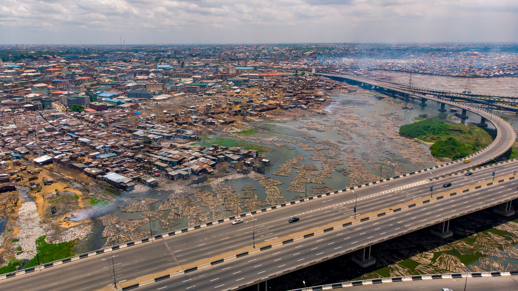
Key dimensions of the Lagos flooding crisis include:
- Geographical Constraints: The city’s low-lying topography makes it exceptionally susceptible to rising sea levels, high tides, and torrential seasonal rainfall.
- Rapid Urbanization: Unchecked population growth and high-density expansion have drastically reduced permeable surfaces, sealing natural wetlands and drainage basins under concrete.
- Socio-Spatial Inequality: While wealthy enclaves like Lekki and Victoria Island invest in expensive, private shoreline protection, informal communities such as Makoko and wetland fringes face disproportionate displacement and environmental hazards.
- Architectural Innovation: A growing movement of architects, urban designers, and local communities are pioneering adaptive strategies—ranging from amphibious architecture to restored wetlands—to negotiate with the rising waters rather than vainly trying to block them out.
Chronology: The Evolution of Lagos and Its Waters
To understand the modern crisis, one must trace how Lagos has transformed its relationship with water over centuries, shifting from an indigenous aquatic settlement to a colonial trading port, and finally to a congested modern megacity.
Pre-Colonial Era: Living with the Tides
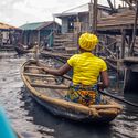
Originally established as a Yoruba settlement, early Lagosians primarily inhabited the margins of the lagoon system. Architecture was largely responsive to the environment; stilt houses and floating platforms dominated the waterways. Water was not an enemy to be feared or expelled, but a highway for trade, transport, and daily subsistence. The community coexisted with the flood cycles, adjusting their spatial practices seasonally.
The Colonial Period and Early Reclamation (Late 19th to Mid-20th Century)
British colonial administration altered the hydrology of Lagos Island and its surroundings. Seeking to establish formal administrative and commercial districts, the British initiated early land reclamation projects, draining swamps, building canals, and introducing rigid grid systems. This era marked the beginning of a paradigm shift: water was no longer to be accommodated, but controlled and pushed back through engineered channels.
The Post-Independence Boom and Unchecked Expansion (1960s–1990s)
Following Nigeria’s independence in 1960, Lagos experienced an unprecedented population influx, transforming into one of the world’s fastest-growing megacities. Urban planning struggled to keep pace with rural-to-urban migration. Vast swaths of wetlands, mangroves, and natural drainage channels—crucial sponges for absorbing excess rainwater—were systematically filled in for informal housing and formal commercial developments alike.
The Contemporary Era: Climate Change and the Megacity Realities (2000s–Present)
In the 21st century, the convergence of rapid urban sprawl, failing aging infrastructure, and accelerating global climate change has intensified the severity of seasonal floods. Events that once occurred once a decade now happen annually. High-profile neighborhoods like Lekki routinely find themselves wading through knee-deep water, prompting a critical reassessment of how the city negotiates its survival.
Supporting Data: The Scale of the Crisis
Quantifying the environmental pressures facing Lagos reveals the immense scale of vulnerability managed by its millions of residents:
- Population Density: Lagos is home to an estimated 20 to 25 million people, making it one of the most populous urban agglomerations on the planet, heavily concentrated in low-lying coastal corridors.
- Topographic Vulnerability: A significant portion of Lagos sits less than two meters above sea level, placing it directly in the crosshairs of projected global sea-level rises driven by climate change.
- Wetland Loss: Environmental studies indicate that over 60% of the original mangrove and wetland ecosystems surrounding metropolitan Lagos have been degraded or entirely reclaimed for real estate over the last four decades, drastically stripping the city of its natural stormwater buffers.
- Economic Impact: Severe annual flooding routinely paralyzes commercial districts, resulting in billions of Naira in lost productivity, infrastructural damage, and emergency response expenditures.
Official Responses and Engineering Interventions
Municipal and federal authorities have deployed various strategies to combat the rising waters, though these efforts face persistent challenges regarding maintenance, corruption, and equitable distribution.
The Lagos State Drainage Master Plan
The Lagos State Government has repeatedly updated its Drainage Master Plan, focusing on the dredging of major canals, clearing of blocked drainage channels, and the construction of new collectors. However, critics argue that these traditional grey-infrastructure approaches—reliant on concrete walls and deep canals—often shift the flood burden from one neighborhood to another rather than solving the systemic issue.
Shoreline Protection and Megaprojects
High-end commercial developments have increasingly turned to massive engineering projects. The Eko Atlantic City project, built on land reclaimed from the Atlantic Ocean, is protected by the "Great Wall of Lagos"—a massive revetment designed to absorb wave energy. While protecting elite real estate, these capital-intensive interventions often raise concerns among urban geographers regarding the displacement of natural wave energy toward vulnerable, unprotected coastal communities elsewhere on the coastline.
Community-Led Adaptation and Nature-Based Solutions
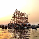
Recognizing the limitations of top-down governmental interventions, grassroots initiatives and architectural collectives are spearheading alternative models. Projects such as the Makoko Floating School and localized wetland preservation schemes in areas like Akoka demonstrate that adaptive architecture can successfully merge vernacular wisdom with contemporary design. These initiatives advocate for "making room for the river," utilizing porous surfaces, floating structures, and ecological restoration instead of fighting a losing battle against nature.
Implications: The Future of Lagosian Urbanism
The ongoing struggle between Lagos and its returning floods carries profound implications for urban planning, architecture, and social equity across coastal cities worldwide.
Rethinking Real Estate and Land Tenure
The traditional aspiration for solid, dry land ownership is being challenged by ecological realities. As sea levels rise, urban developers must rethink what constitutes habitable land. The commodification of fragile wetlands for luxury housing has proven ecologically disastrous and socially precarious. Future urban policies must transition toward zoning laws that respect hydrological boundaries rather than overriding them for short-term economic gains.
Environmental Justice and Social Equity
Flooding in Lagos is deeply stratified. Wealthier residents can afford elevated foundations, private pumping systems, or relocation to higher ground. Conversely, low-income communities in informal settlements bear the brunt of waterborne diseases, structural collapses, and economic devastation. True resilience in Lagos cannot be achieved through gated protectionism; it requires inclusive infrastructure investments that protect the entire urban fabric.
A New Paradigm for Coastal Megacities
Ultimately, the Lagos narrative offers a vital lesson for the global architecture and urban design community. The city forces a departure from the hubris of human mastery over nature toward a philosophy of negotiation. By embracing amphibious living, restoring natural ecologies, and honoring the memory of the floodplain, Lagos is writing a new manual for how humanity can thrive in an era of climate uncertainty.
Cite this article:
Toke Joseph, adapted by ArchDaily Staff. "When the Water Comes: How Lagos Negotiates with Its Returning Floods." ArchDaily, September 15, 2026. Accessed [Current Date]. https://www.archdaily.com/1184532/when-the-water-comes-how-lagos-negotiates-with-its-returning-floods ISSN 0719-8884.
