

Published on August 31, 2026
By Reyyan Dogan (Adapted and Expanded)
Main Facts: The Escalating Crisis of the 2026 Fire Season
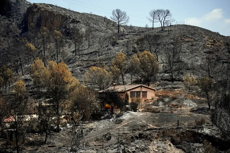
As the northern hemisphere transitions out of the grueling summer months of 2026, a relentless wave of severe late-August wildfires across northern Algeria has brought residential communities, vital agricultural zones, and critical national transport corridors directly into the path of raging infernos. The devastating outbreak—concentrated heavily in the northern provinces of Jijel, Béjaïa, and Tizi Ouzou—has tragically claimed at least 12 lives, triggered mass evacuations, and forced the emergency shutdown of major national highways.
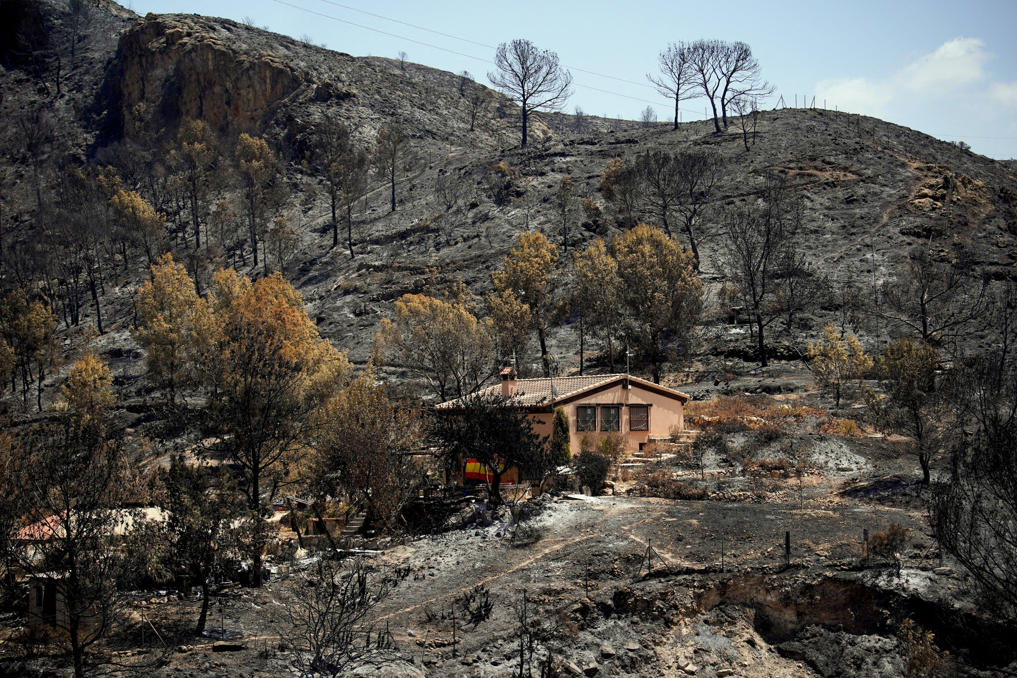
These late-season catastrophes are not isolated anomalies; they represent the harrowing culmination of a volatile summer. Algerian authorities recorded nearly 2,000 distinct fires nationwide during July alone. Just weeks prior, at the end of July, fast-moving blazes in the northeastern province of Annaba displaced over 100 residents and heavily damaged or destroyed nearly 150 homes.
While forest fires are a historical fixture of northern Algeria’s hot Mediterranean summers, the frequency, velocity, and sheer intensity of these events have mutated dramatically. Driven by intensifying, prolonged droughts and punishing regional heatwaves, these wildfires are increasingly breaching the boundaries of wildlands, encroaching directly onto human settlements, and exposing the extreme vulnerabilities of modern infrastructure, rural planning, and urban-wildland interfaces.
Chronology of a Global Emergency: From Localized Outbreaks to Continental Disasters
The unfolding disaster in North Africa mirrors a broader, planetary-scale crisis that has defined the 2026 wildfire season across multiple continents.
- Early Summer (June–July 2026): Early indicators of a catastrophic fire season emerged as record-breaking heat domes settled over the Mediterranean, North America, and parts of the Southern Hemisphere. By July, Algeria was already battling thousands of localized brush and forest fires, culminating in the Annaba emergency at month’s end. Simultaneously, Canada and the United States were grappling with millions of hectares of scorched earth, sending toxic plumes of smoke across international borders.
- August 1, 2026: Global monitoring data compiled by Our World in Data via the Global Wildfire Information System (GWIS) revealed a staggering milestone: approximately 112.3 million hectares had already burned worldwide. Africa alone accounted for 55.1 percent of this total global burned area, led by the Democratic Republic of Congo (13.6 million hectares), Angola (7.5 million hectares), and Australia (11.8 million hectares). It is important to note that these broad global figures encompass agricultural management and prescribed burning, yet they underscore a baseline of immense global thermal activity.
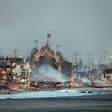
- Mid-August 2026: In Europe, Spain’s fire season escalated into one of the most destructive in recent memory. By August 12, official figures confirmed that roughly 226,391 hectares had burned across Spain—marking a devastating 38 percent increase compared to the same period in 2025. Neighboring France, Greece, and parts of the United Kingdom (including the Cairngorms) also faced aggressive flare-ups, forcing coastal evacuations and structural ruins reminiscent of post-war zones along the Mediterranean coast near Marseille.
- Late August (August 26–31, 2026): The crisis reached a crescendo in North Africa. A severe late-August heatwave swept across the region, providing the atmospheric tinderbox for the deadly outbreaks in Jijel, Béjaïa, and Tizi Ouzou. Vital national transport arteries in Algeria were severed as flames licked across asphalt corridors, isolating mountain towns and complicating evacuation protocols.
Supporting Data: The Metrics of a Burning Planet
To comprehend the scale of the 2026 fire landscape, climatologists, urban planners, and disaster relief agencies rely on empirical data tracking land loss, meteorological forecasts, and structural vulnerability.
According to the European Forest Fire Information System (EFFIS), by August 27, 2026, over 634,473 hectares had burned across the European Union in fires exceeding 30 hectares in size. While this figure sits slightly below the horrific 984,559 hectares recorded during the same timeframe in 2025, it remains more than double the 2006–2025 historical average of 313,246 hectares, demonstrating a disturbing upward shift in baseline destruction.
Furthermore, long-term regional tracking reveals distinct global distribution patterns:
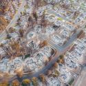
- North America: By August, Canada had recorded roughly 2 million hectares burned, displacing northern communities and blanketing North American cities in dense smog. The United States logged an additional 2.4 million hectares lost, with mega-fires devastating rural and suburban fringes in Oregon, Washington, and Idaho.
- European Union Forecasts: EFFIS long-range forecasts issued at the close of August warned of "very extreme conditions" lingering over isolated pockets of Central Europe, the Balkans, Portugal, eastern Spain, and the Atlas Mountains of North Africa. Above-average atmospheric temperatures paired with below-average rainfall across the Iberian Peninsula, France, Italy, and the Balkans created an extended window of high-risk vulnerability stretching into early September.
Official Responses and Cross-Sector Interventions
In the wake of the Algerian tragedies and concurrent global disasters, local governments, international scientific bodies, and emergency response frameworks have scrambled to adapt to compounding environmental threats.
Civil Protection and Infrastructure Defenses
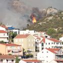
In Algeria, civil protection units, supported by national forestry directorates and military assets, have been mobilized around the clock to contain the fast-moving blazes in the Kabylie region and surrounding northern provinces. The primary operational hurdle has been accessibility: with high winds driving flames across dense, mountainous terrain, firefighting aircraft have frequently been grounded or severely restricted by visibility issues. Consequently, ground crews have had to prioritize defensive perimeters around villages, cutting firebreaks and manually evacuating stranded families.
The Broader Multi-Hazard Context
The 2026 planetary crisis is further complicated by the simultaneous convergence of multiple catastrophic natural hazards. The resilience of global infrastructure has been tested not only by fire, but by geological and cryospheric disasters:
- The Himalayan Disaster (August 26, 2026): A catastrophic glacier collapse along the Nepal–Tibet border triggered massive flash floods that devastated rural mountain villages, leaving at least 350 people dead and over 1,300 missing, with districts like Rasuwa and Nuwakot bearing the brunt of the devastation.
- Seismic Shocks: Earlier in the month, a powerful magnitude 7.4 earthquake struck Colombia, fracturing historic architecture and claiming at least 111 lives across multiple urban centers. This followed an unprecedented seismic cluster in June 2026, which saw four major earthquakes strike Japan, the United States, and Venezuela within a mere 36-hour window.
These cascading events have forced civil protection agencies to shift from siloed emergency responses toward integrated, multi-hazard risk management frameworks.
Implications for the Built Environment: Rethinking Urban-Wildland Interfaces
For architects, urban planners, civil engineers, and policy-makers, the 2026 wildfire season serves as a brutal masterclass in the urgent need for climate-adaptive design. Traditional approaches to land use, zoning, and material science are proving utterly inadequate in the face of modern mega-fires.
1. The Vulnerability of the Urban-Wildland Interface (WUI)
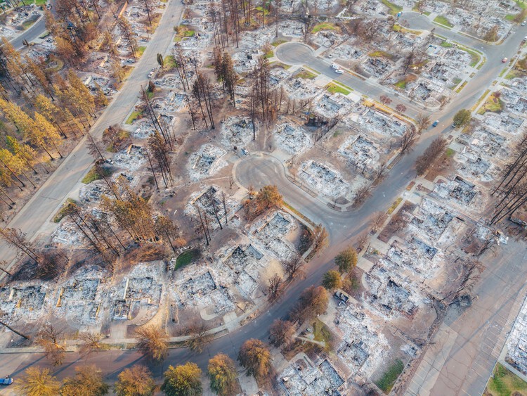
As populations expand and rural-urban migration continues, residential developments increasingly push into forested or agricultural peripheries. The fires in Algeria, Spain, Greece, and the United States vividly demonstrate that modern homes act as fuel. Radiant heat, airborne embers, and shifting wind vectors can ignite residential neighborhoods long before the front line of a forest fire arrives.
2. Lifeline Infrastructure and Connectivity
Wildfires do more than burn homes; they paralyze regional infrastructure. In Algeria, the emergency closure of three major national highways isolated entire communities, cut off vital supply chains, and transformed ordinary transit routes into perilous bottlenecks. Urban planning must now incorporate redundant evacuation corridors, fire-resistant road margins, and subterranean utility lines that remain functional during extreme heat events.
3. Material Science and Architectural Resilience
Rebuilding in fire-prone regions requires a paradigm shift in material selection and detailing:
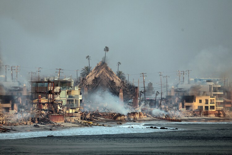
- Non-Combustible Facades: Replacing flammable timber cladding with stone, treated metal, or fiber-cement panels.
- Defensible Openings: Utilizing multi-paned tempered glass windows designed to withstand extreme thermal shock without shattering.
- Ember-Resistant Venting: Installing fine mesh metal screens over attic and crawlspace vents to prevent wind-driven embers from entering roof cavities.
- Landscape Architecture: Adopting "defensible space" landscaping principles, which mandate clear buffers of non-flammable hardscaping, native low-resin plants, and managed tree canopies around structures.
Conclusion
The catastrophic wildfires in Algeria and across the global landscape in 2026 are not temporary aberrations; they are the new normal of a heating planet. As climate change continues to drive prolonged droughts, extreme temperatures, and volatile weather patterns, the built environment can no longer be designed in isolation from its ecological context. Protecting human life and cultural heritage requires an unprecedented union of climate science, proactive land management, and resilient architectural engineering—ensuring that our cities and rural settlements can stand firm against an increasingly combustible world.
